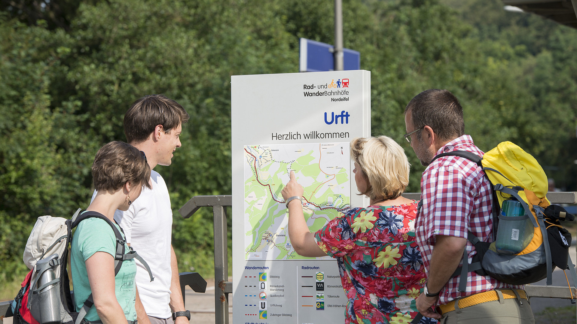
Eifel Platform "Cycle and Hike Train Station"
(EifelBahnSteig)
The EifelBahnSteig is a digital hiking trail and thus a pure GPS trail. Its name already points to what is special about it: Each stage starts at a North Eifel Platform "Cycle and Hike Train Station" on the Cologne-Trier railroad line and ends at the following station.
The EifelBahnSteig is not about getting from A to B by the fastest route. The stages are a bit longer than usual, because as many beauties and special features as possible have been included in the routing. The EifelBahnSteig runs to a large extent on natural paths, narrow trails and lonely passages. This results in an extraordinarily beautiful course of the route, which again and again heads for untouched areas.
The stages of the Eifel Platforms "Cycle and Hike Train Stations"
- Euskirchen - Satzvey (27km)
- Satzvey - Mechernich (22km)
- Mechernich- Scheven (17km)
- Scheven - Kall (22km)
- Kall - Urft (18km)
- Urft - Nettersheim (21km)
- Nettersheim - Blankenheim Forest (14km)
- Blankenheim Forest - Schmidtheim (25km)
- Schmidtheim - Dahlem ( 28km)
- Dahlem - Jünkerath (28km)

A special attraction in the northern Eifel is the EifelBahnSteig from Euskirchen to Trier; its stages lead from station to station deep into the charming landscapes around the Eifelbahn. The hiker can expect an extraordinary hiking experience on natural paths and hidden trails."
Sieglinde Hoffmann
Passionate hiker and co-founder of "NaturAktivErleben"

