Roman Canal Trail
"The long line of the Romans"
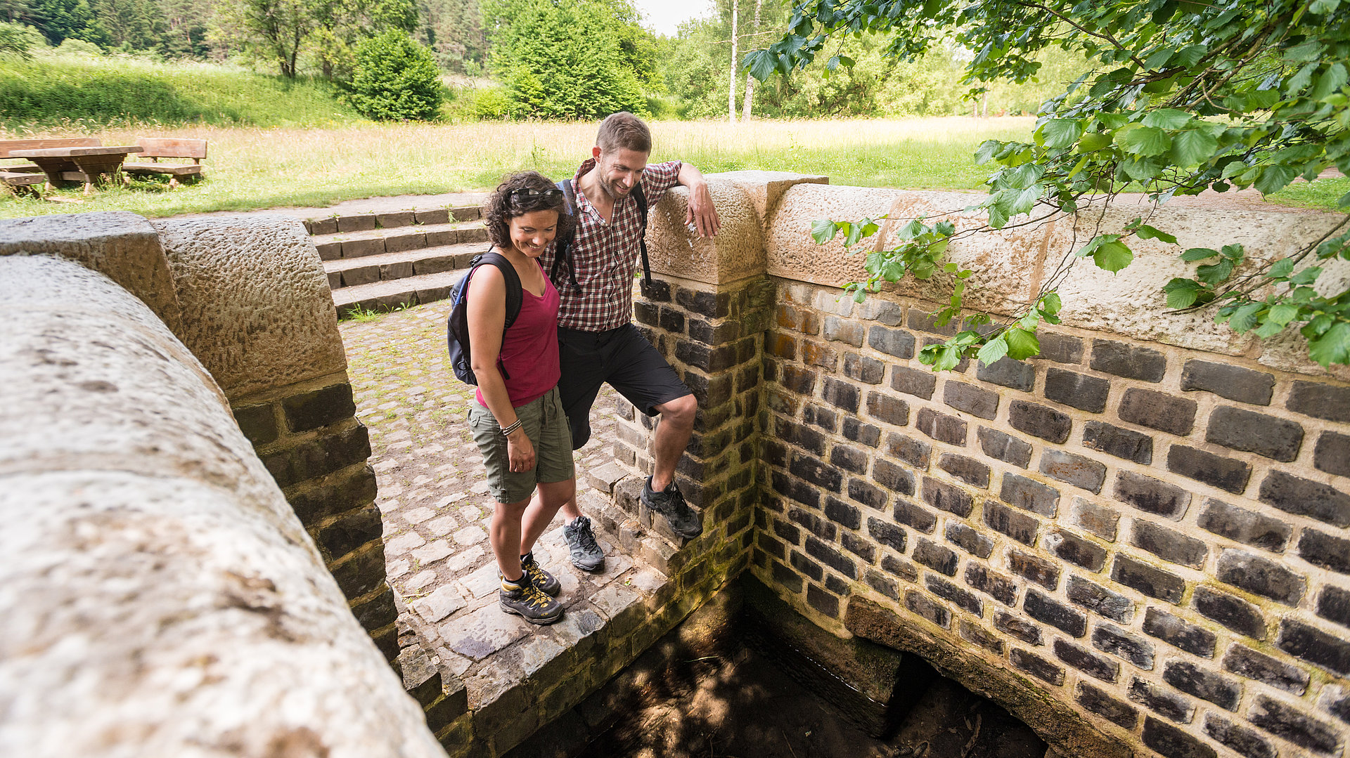
The approximately 100 km long Roman Canal is an almost two thousand year old engineering feat. Parallel to this former water conduit, the 116-kilometer-long Roman Canal Hiking Trail follows seven stages from Nettersheim to Cologne. During the hike, you will roam the charming landscapes from the northern Eifel to the Rhineland and get to know the relics of the large-scale construction from Roman times up close. Along the way you will receive information at various Roman relics. Parallel to the hiking trail run the railroad lines of the Deutsche Bahn (DB) and the Kölner Verkehrsbetriebe (KVB). The hiker-friendly hosts along the Roman Canal Hiking Trail offer the possibility to stop for refreshments and overnight stays.

One look at the wonderful nature of the Eifel mountains with their forests, meadows and watercourses - and you get an idea why the Romans in Cologne fetched their drinking water here almost 2000 years ago."
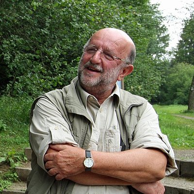
Prof. Dr. Klaus Grewe, Initiator of the Roman Canal Trail
The 7 stages from Nettersheim to Cologne
- Nettersheim to Kall-Dottel (15 km)
- Kall-Dottel to Mechernich-Feyer Mühle (16 km)
- Mechernich-Feyer Mühle to Euskirchen-Kreuzweingarten (13 km)
- Euskirchen-Kreuzweingarten to Rheinbach (16km)
- Rheinbach to Bornheim-Brenig (22 km)
- Bornheim-Brenig to Brühl (Water tower) (15 km)
- Brühl (Wasserturm) to Cologne-Sülz (19 km)
Good to know
Also find out about our arrangements with hikes on the Roman Canal hiking trail. Look forward to the elaborated tours, excellent map material, excellent hosts, the GästeCard, attentive service and unforgettable days in nature, which guarantee a time-out from everyday life.
We will be happy to send you free information material for planning your hike. You can also order hiking maps from us for a fee.
Also take a look at the pocket guide "Römerkanal-Wanderweg"(PDF file) or read the pocket guide as an e-paper. German Version

