Municipality of Weilerswist
Due to its excellent geographical location, Weilerswist is particularly suitable as a starting point for a variety of activities such as city tours or excursions to the Eifel. Weilerswist is located in the Naturpark Rheinland. The forest area of the entire nature park stretches from northeast to southeast with a length of 60 km and a width of 16 km in the north and 30 km in the south.
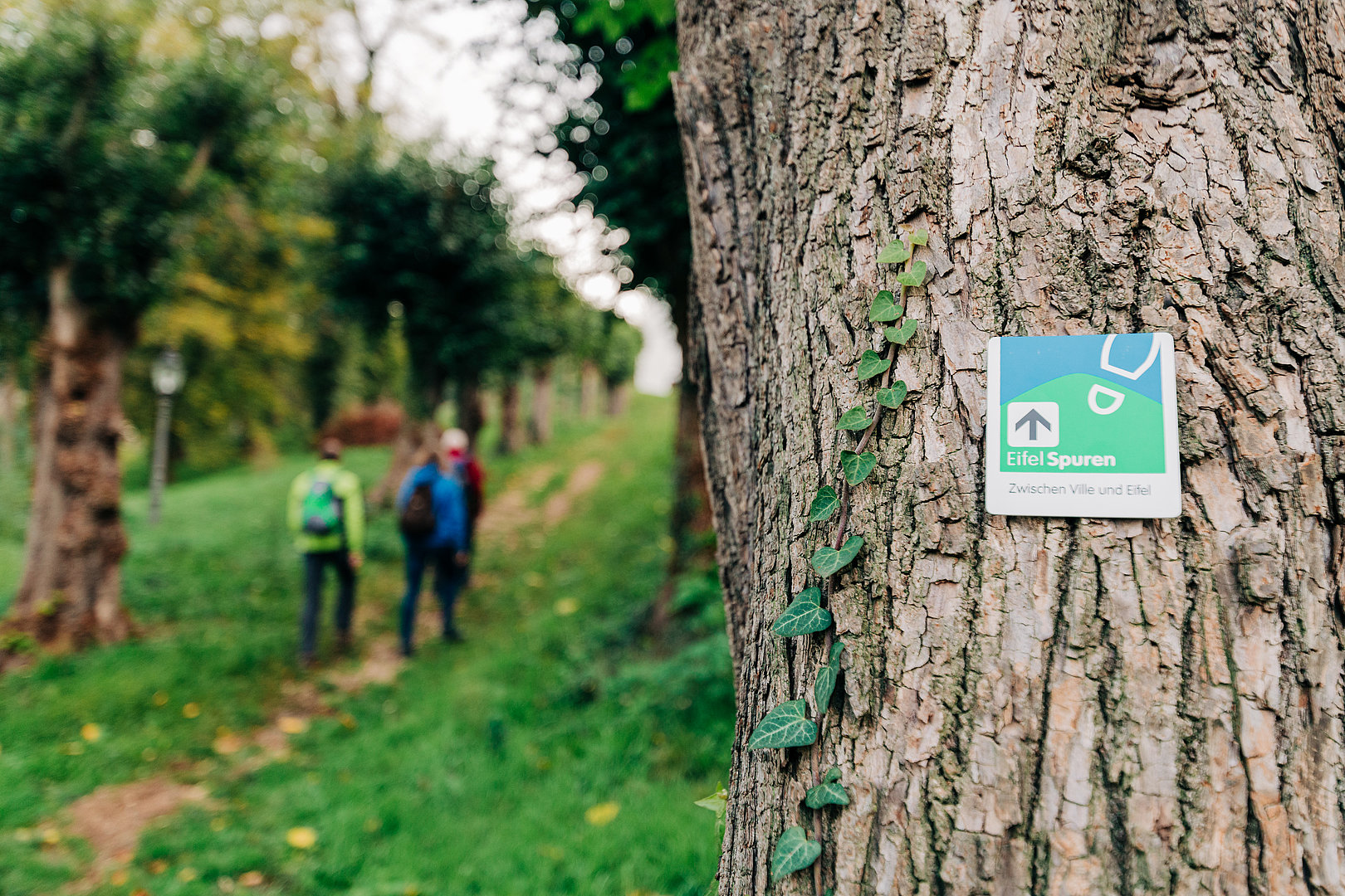
An extensive and signposted network of trails invites you to hikes and bike tours. Particularly recommended are the EifelSpur "Zwischen Ville und Eifel" and the Klüttenweg. The well-maintained paths lead past idyllically situated forest lakes. These lakes are remnants from the times of the brown coal open pit mining. To the west or south, the plain of the "Zülpicher Börde" extends to the Eifel National Park.
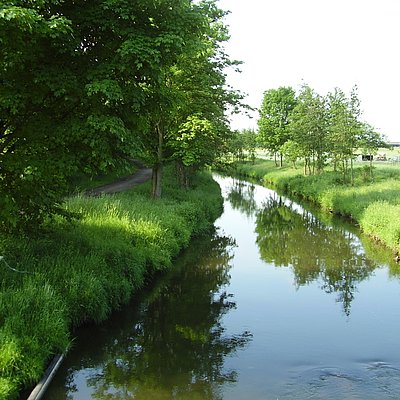
The signposted cycle path network of the district of Euskirchen leads along asphalted farm roads and country roads with little traffic. This network connects to the cycle path network of the neighboring Rhine-Erft district. There are recreational bike tours like along the Erft or the Wasserburgenroute with hardly any climbs worth mentioning in the near or far surroundings.
The Swisterturm as the airfield of the ultralight flight group "Nordeifel" in Müggenhausen are worth a visit.
Weilerswist is also a suitable starting point for visiting the Rhine metropolis Cologne, the federal city Bonn or the leisure and amusement park Phantasialand in Brühl.
Information about Weilerswist and the northern Eifel is available at the town hall and the train station in Weilerswist. Ideal starting and ending points for hikes and bike tours are the bike and hiking stations Weilerswist and Derkum.